
Hi-RISE study areas and methods
Study areas
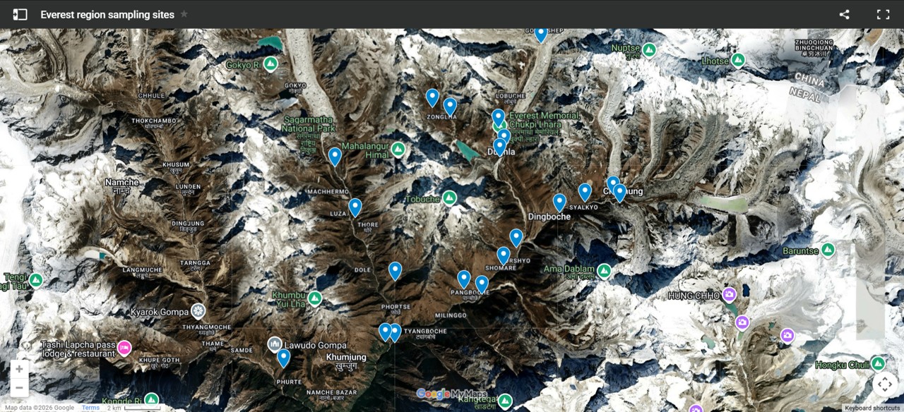
Our initial research has been undertaken along the Everest base camp trek route - from Namche up to the Khumbu Glacier, upvalley from Dingboche to Chukhung, from Lobuche to the Cho La Pass, and in the Ngozumpa Glacier valley.
Sampling has been undertaken at multiple sites at quarterly intervals from April 2025, to track seasonal dynamics of river ecosystems and to investigate pre vs post-monsoon changes. Five sites are sampled intensively and include hydrological sensors to measure temporal dynamics, then a broader set of sites are sampled less frequently to provide wider spatial contextual datasets.

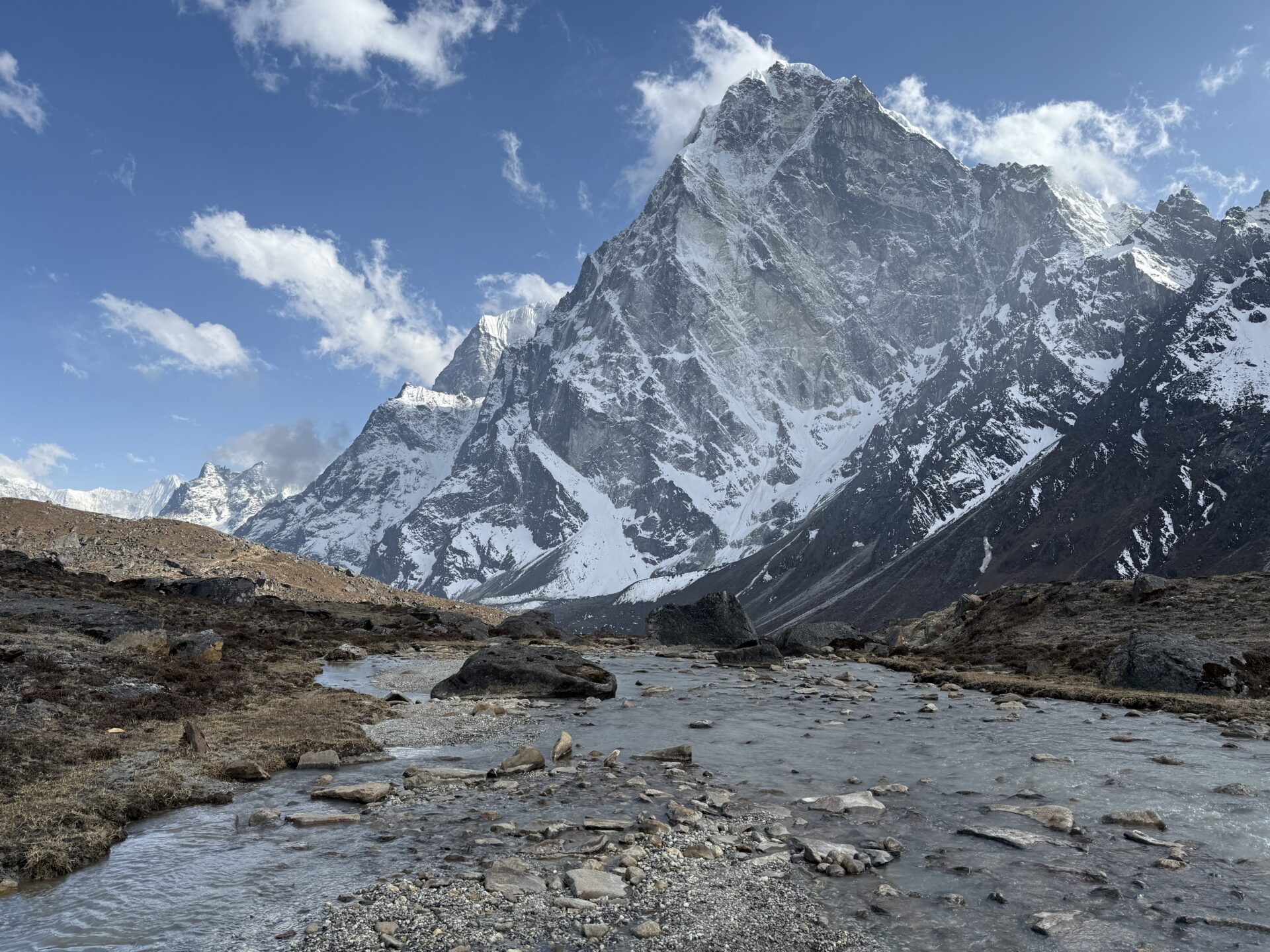

Click on the map (opens in a new page) and select pins to see some of our Everest region study sites
Methods
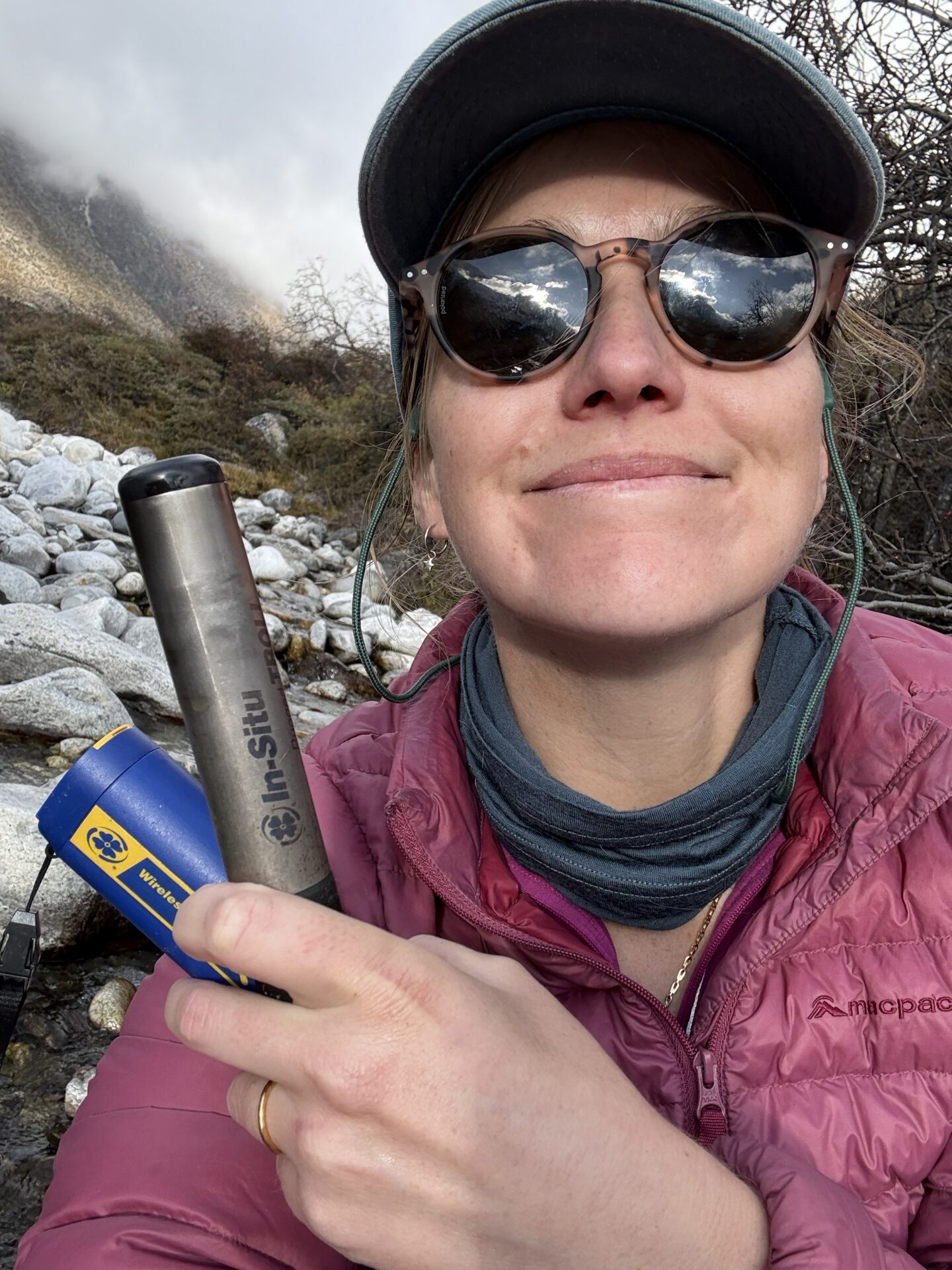
The five core study sites are instrumented with In Situ Aqua Troll sensors which measure water depth and water temperature at 15 minute intervals. Nearby atmospheric sensors record pressure and air temperature.

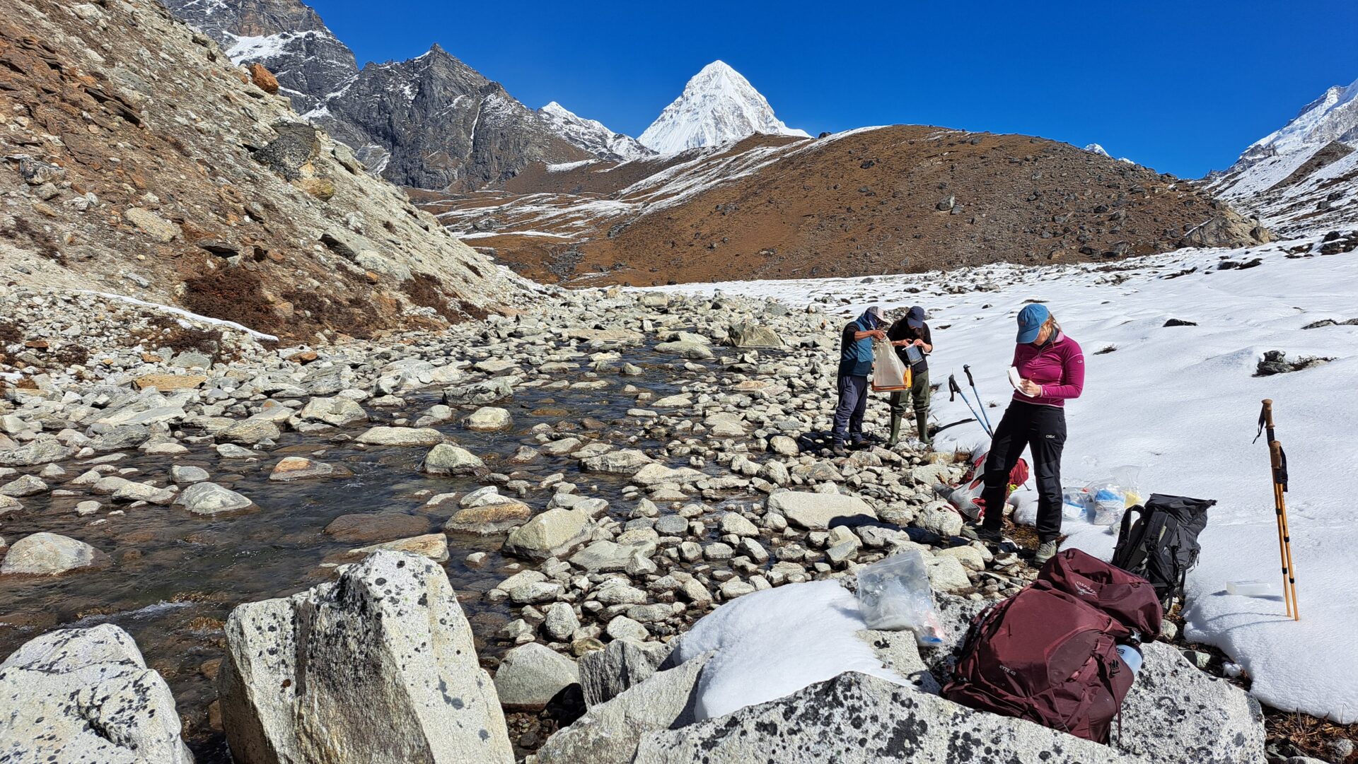
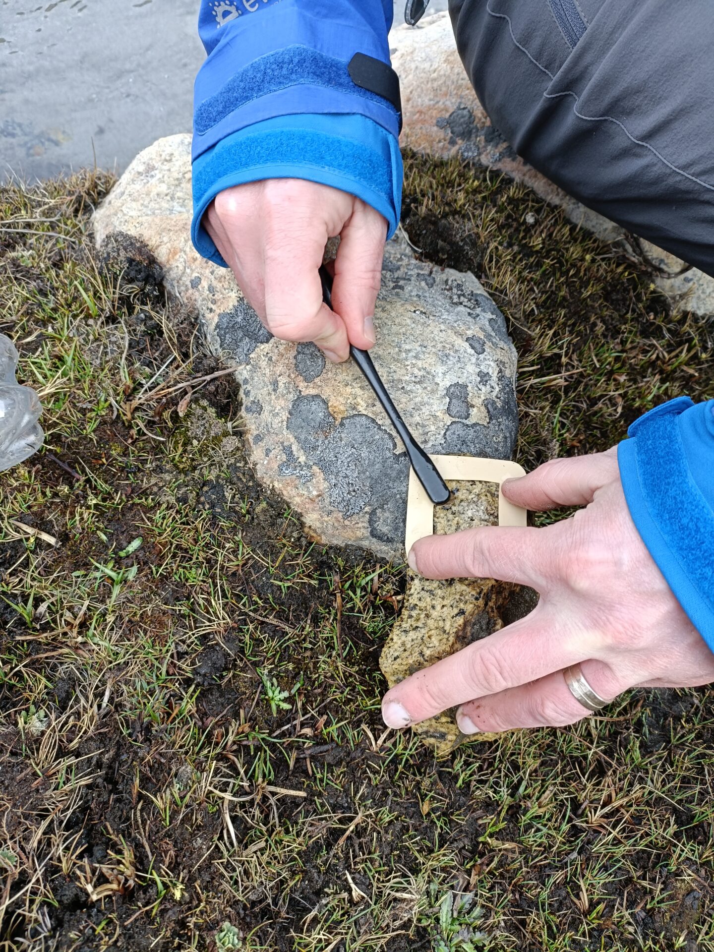
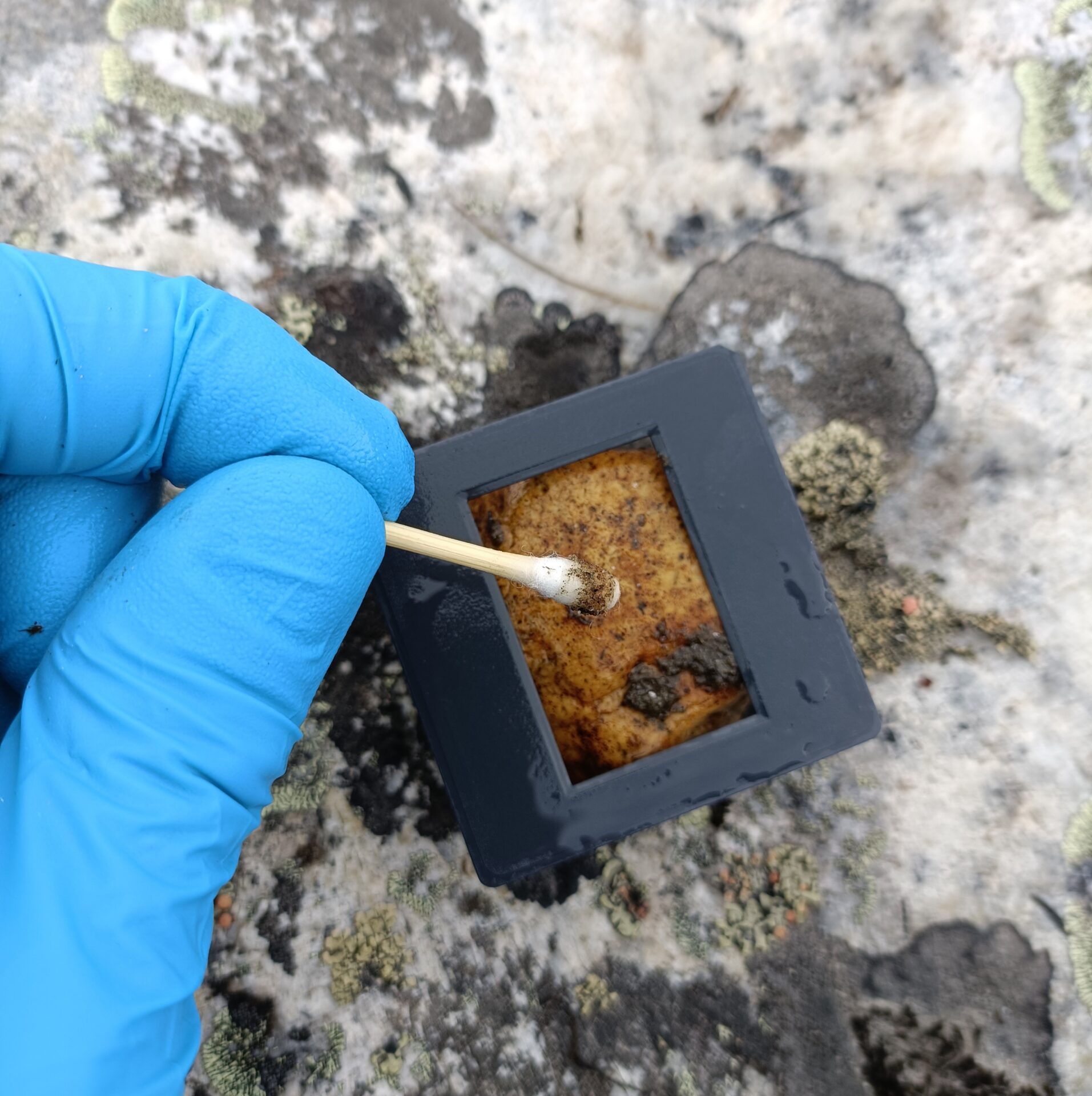
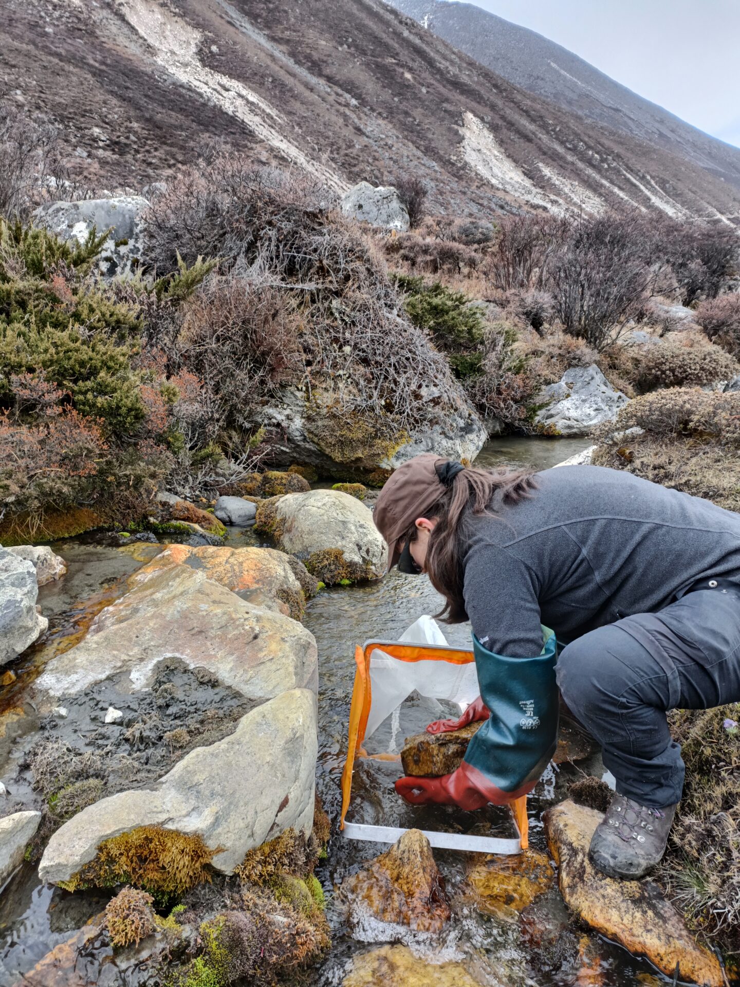
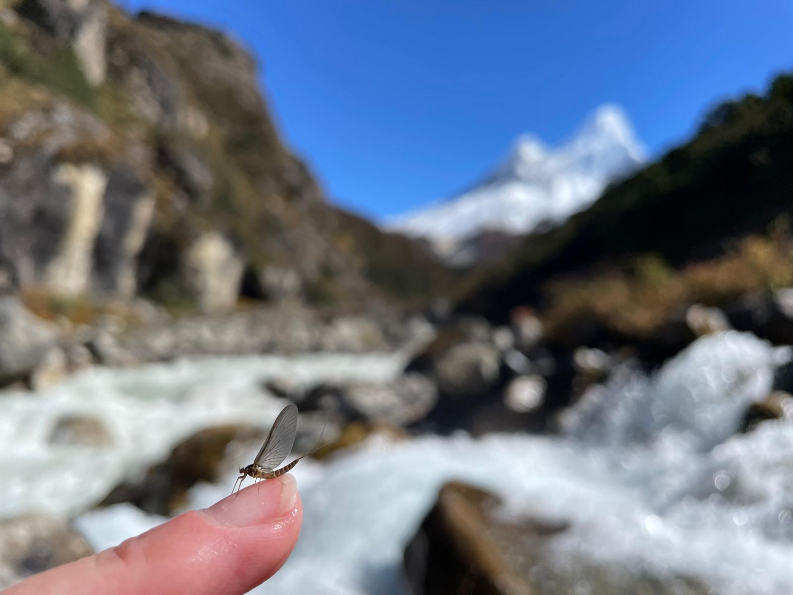
Biological collections include Surber sampling for benthic invertebrates, and rock surface scrubs for algae, both for microscopic analysis in the laboratory. Rock surface swabs are collected using sterile sampling kits for DNA analysis of biofilms (algae, archaea, bacteria, fungi). Additional samples are collected for bulk organic matter and pigment analyses on benthic biofilms.
Filtered water samples are collected for analysis of dissolved nutrients, and dissolved greenhouse gas samples are collected using the headspace method. Spot measurements of water quality parameters are collected with portable sensors.